Maps and Directions
Drexel University is made up of multiple campuses, from University City to our Elkins Park campus, and more. Find directions from different parts of the country, public transit directions, and maps detailing each building.

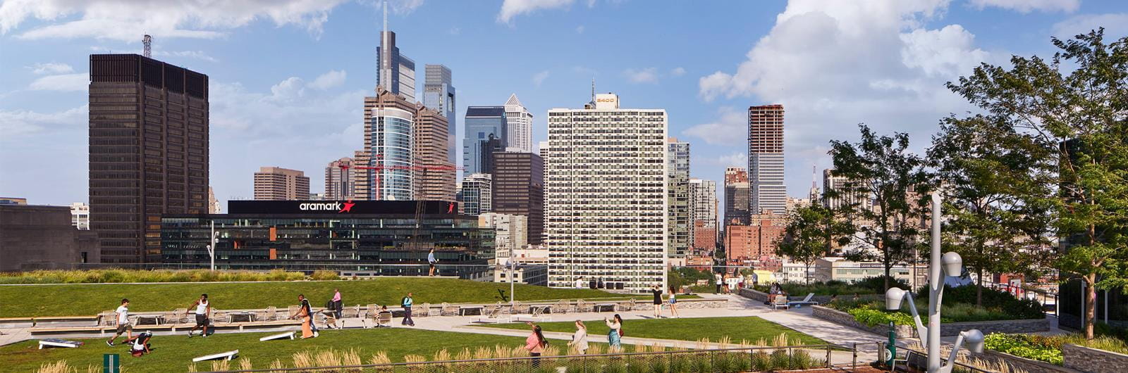
Drexel University’s 74-acre University City Campus functions as the heart of West Philadelphia, with a vibrant community to the west and the iconic 30th Street Station to the east. This placement near housing, restaurants, and public transit makes the University City Campus incredibly convenient for both students who live in Philadelphia and those who commute.

Located in bustling Center City Philadelphia, the Center City Campus is home to the Academy of Natural Sciences of Drexel University, Kline Institute of Trial Advocacy, and Drexel Health buildings, which provide students in a variety of health programs with access to state-of-the-art facilities.

The Queen Lane Campus in East Falls, a largely residential section of Philadelphia that is only 15 minutes from the attractions of Center City, is home to many of the College of Medicine's research functions.

The Academy of Natural Sciences of Drexel University is located on the Benjamin Franklin Parkway. The 200-year-old Academy is the nation’s oldest natural history museum.

Drexel University’s campus in Elkins Park, Pennsylvania, is home to a variety of academic programs in health sciences including optometry, audiology, physician assistant, occupational therapy, and speech-language pathology.

Located in West Reading, Pennsylvania, this regional medical campus provides an immersive and collaborative learning environment designed to develop the knowledge and practical skills students need to succeed within the medical field.